PLITVICE LAKES
(CROATIAN TRIP – PART 2)
author: Ana Boneva

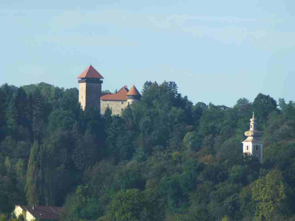
The morning in Zagreb was fresh and smiling. The sky was blue and covered with small white clouds. Immediately after breakfast we headed to the Plitvice Lakes National Park, which was 162 km south of Zagreb. Initially, the road was very flat with green and arable land, occasionally separated by a river. The trees had not yet put on their autumn clothes and were showing off their last green leaves. We passed a narrow road which was under construction and it slowed us down, but on the other hand, we managed to take some nice photos on the way. Especially beautiful were those in Karlovac, where a medieval castle was perched on a hill. This city was named after Charles II Franz of Austria (who ruled from 1564 to 1590), who ordered the construction of this city. The German called the city Karlstadt. The Austrians built this city out of nowhere in 1579 to increase their defense against Ottoman attacks, and accordingly a fortified city was erected in the form of a six-pointed star, the shape of which can still be seen from a bird’s eye view today. The castle was called Dubovac and many noble families lived in it.
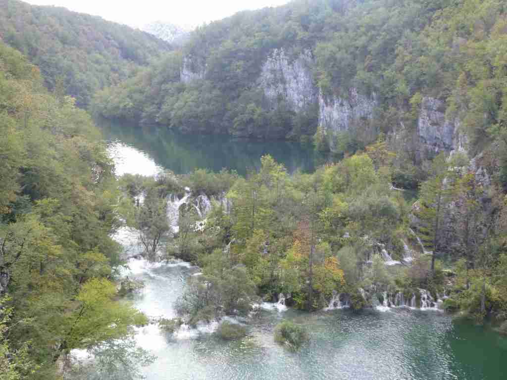
On the way to Plitvice Lakes National Park, we saw small waterfalls on the right side, which ignited my impatience to get faster to the 16 lakes flowing into each other through fairytale cascades. This park was established in 1949 and was included in the UNESCO World Heritage List in 1979. And since then it is in my bucket list.
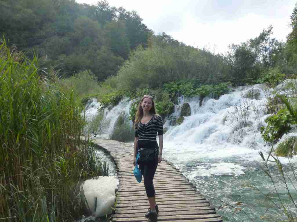
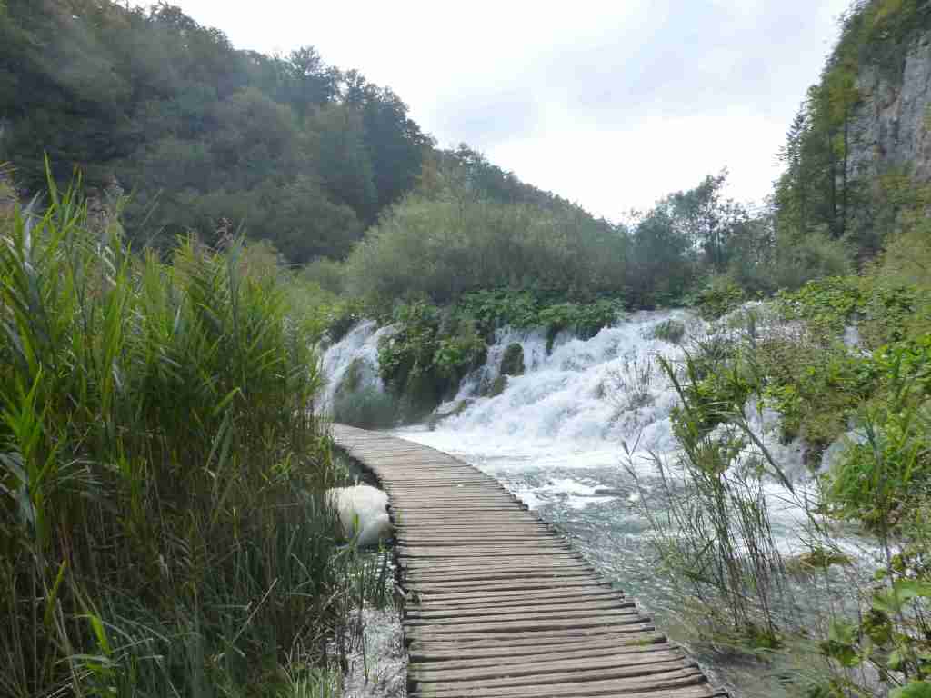
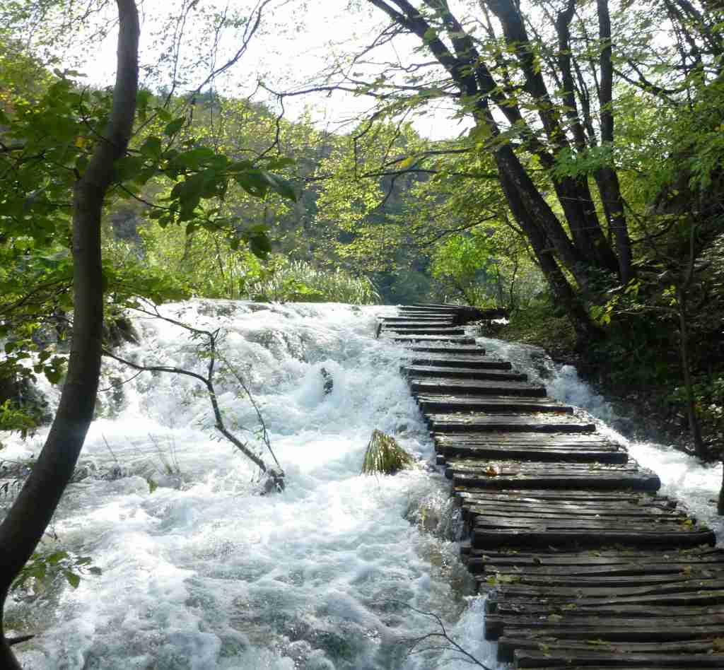
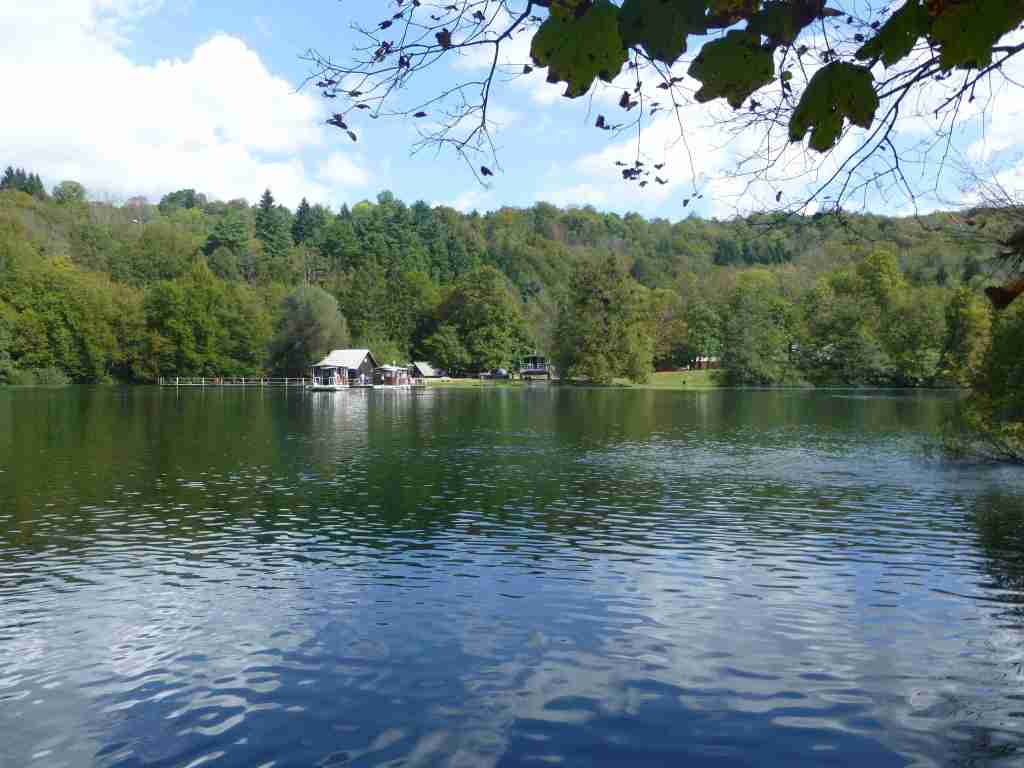
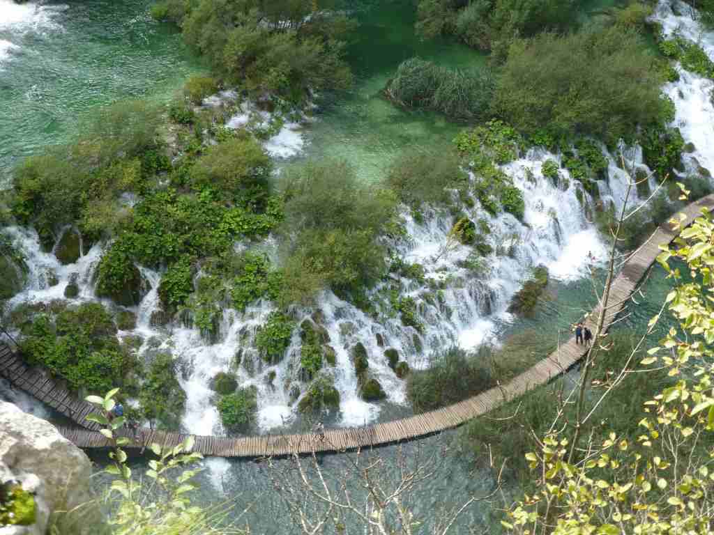
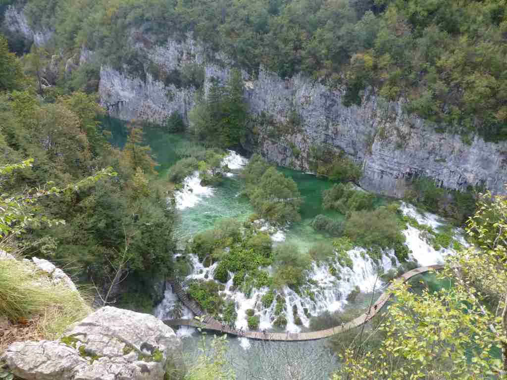
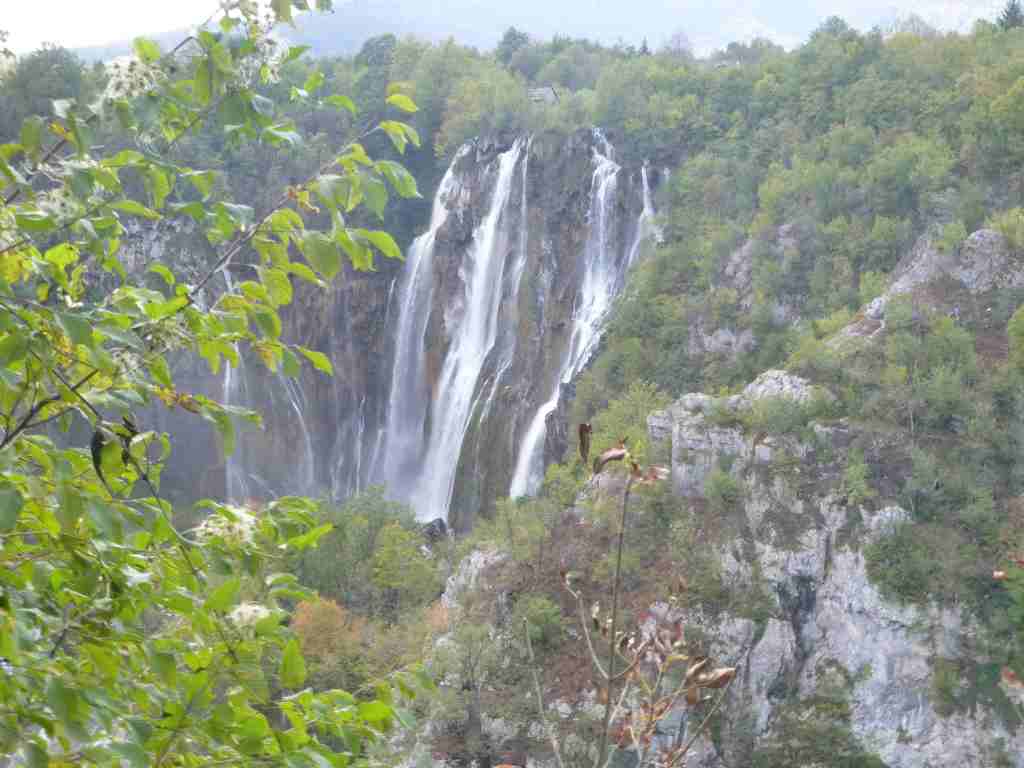
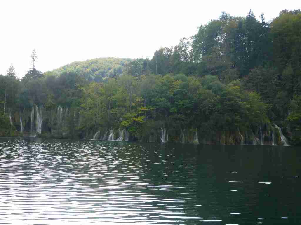
After buying tickets, we immediately entered the park, which impressed us with a large high waterfall from the very beginning. This year it was very rainy and the waters of the rivers and waterfalls overflowed in the pedestrian areas. Some of the paths were closed, and there were clear signs with the inscription: “The road is closed due to flooded paths”. Several Bulgarian groups however broke under the signs and we joined them. At the very beginning, the “closed paths” were well maintained and separated and led to the big waterfall. The “Big Waterfall” was the largest waterfall not only in this park, but in all of Croatia.
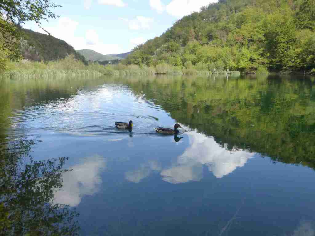
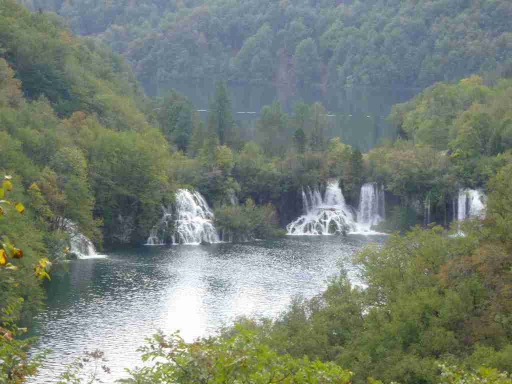
After being amazed from its beauty, the Bulgarian group continued the walk on a path with puddles that became larger and larger, and some sections were completely under water. We had to continued feeling the cold, water with our feet. The waterfalls were splendid, the fish swimming in the lakes were very clearly visible. There were also ducks in some places. Finally, we came out, or rather swam out of the closed section, and there we met a German group, which was enjoying their walk with dry feet, and the Bulgarian group was exhausted and sweaty from the efforts not to slip and fall in the water.
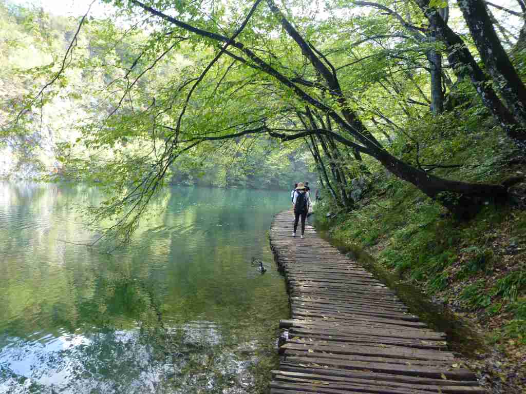
Despite the adversities, we couldn’t help but appreciate the beauty of the park. There were very well-defined forest paths, wooden bridges and everywhere signs directing tourists to one of the numbered exits of the park, the electric bus that ran inside the park or the small piers where there were boats and people could take a ride taking pictures of the waterfalls.

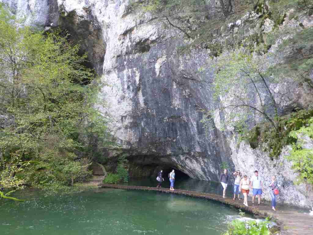
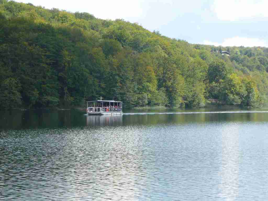
We were too wet to go around the caves located in this park, so we passed through a beautiful forest path that led us to a small pier where boats moored. Before boarding the boat, we decided to eat in one of the many fast food restaurants.
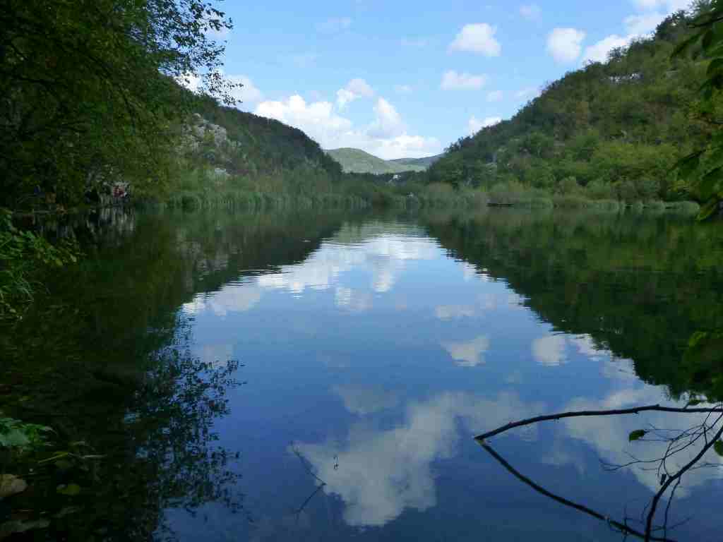
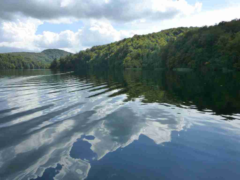
The trip with the boat was very pleasant. We took pictures of the green hills and the small gray-white clouds that looked at each other in the water. We stopped on the opposite shore, from where we took another boat, which led us to many steps that were in the direction of the bus stop. We also rode on the electric bus that left us near Parking 1, and in the last meters on foot in the park, we took more panoramic and nice photos.
Later I learned an interesting legend about the creation of the lakes. According to it, the Plitvice Lakes were formed after a great long drought. People, animals and plants prayed together for a drop of water. Then the mysterious black queen appeared in the valley. The wind blew, thunder crackled and the rain poured over the ground. It rained for so long and hard until the water level rose enough to create the lakes. This park was a real natural phenomenon and I was fascinated by the things I saw.
After splashing in the lakes, we couldn’t wait to jump into the famous Adriatic coast of Croatia. We headed to the port city of Zadar, located 133 km from the Plitvice Lakes Park. The sound of the waves quickly put us to sleep, and dreams merged with reality.

GENERAL INFORMATION ABOUT PLITVICE LAKES:
Location: The Plitvice Lakes are a group of lakes in the Lika region, Croatia, which have been declared a national park since 1949, being one of the oldest national parks in southeastern Europe. They are located in the valley between the Mala Kapela Mountain and the Plješevica Mountain, which is the eastern end of the Dinaric Alps.
Area: 296.85 sq.km
Altitude: 367 m (at the Korana Bridge) and 1279 m (at Selishki Vrah)
Official language: Croatian
Climate: temperate continental climate
Time zone: UTC+1
Currency: Croatian kuna (HRK)
Additional information: http://www.np-plitvicka-jezera.hr/
TRIP TIPS FOR PLITVICE LAKES:
Best time to visit: in spring and early summer, when the waterfalls are at their fullest
Alone or with a guide? There are enough signboards in the park, and you can easily walk around it yourself. When there are signs closed trails – follow them, at first they may seem superfluous, but there are reasons for them to be there.
